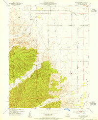
1953 Map of Cortina Creek
USGS Topo · Published 1955About this map
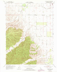
Glenn-Colusa Canal defines the eastern agricultural landscape of this Colusa County study, where irrigation infrastructure supported local farming just after the mid-century. The terrain transitions from the flat valley floor near Beauchamp Road to the rising elevations of the interior hills, marked by peaks like Vabm 697 and Chamisal. This 1953 revision reveals a network of water-dependent land use, from the Cortina Vineyard to the numerous windmills scattered across the drainages of Cortina Creek and the South Fork Cortina Creek. In the southeast, the Arbuckle Golf Club and the curious label of Whisky Creek provide points of interest for local history enthusiasts. The map reflects a period when topography was being refined by modern plotter methods while still retaining the groundwork of early 20th-century plane-table surveys.
Find a feature on this map
29 named features on this map. Tap any name to fly to it.
Don’t see what you’re looking for? This feature index may not catch every label — zoom into the map to look around manually.
Map Details
Editions of this 1953 Cortina Creek Map
2 editions found
Other maps of this area

1905 · Harrington
USGS Topo · 1:24,000

1905 · Fairview
USGS Topo · 1:24,000

1907 · Colusa
USGS Topo · 1:62,500

1916 · Harrington
USGS Topo · 1:31,680

1918 · Williams
USGS Topo · 1:31,680

1918 · Spring Valley
USGS Topo · 1:31,680
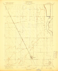
1918 · Arbuckle
USGS Topo · 1:31,680
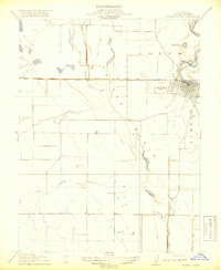
1918 · Powell Slough
USGS Topo · 1:31,680

1920 · Venado
USGS Topo · 1:62,500

1942 · Colusa
USGS Topo · 1:62,500