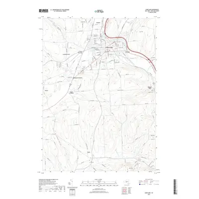
2019 Map of Cortland
USGS Topo · Published 2019About this map
Cortland serves as the central hub of this Central New York landscape, situated at the confluence of the West Branch Tioughnioga River and the Tioughnioga River. The city is defined by institutional and civic landmarks, including the State University of New York Cortland campus and the Cortland County Courthouse. Moving away from the urban center, the terrain rises into prominent hills such as Carr Hill and Cosmos Hill, with smaller rural settlements like Virgil, South Cortland, and Homer marking the valleys. Genealogy researchers will find significant value in the distribution of burial grounds across the quadrangle, from the large Cortland Rural Cem near the city center to the smaller Old Blodgett Cem and Virgil Rural Cem in the outlying districts. The presence of Cortland County Airport-Chase Field and the industrial corridors along the riverbanks highlight the area's role as a regional transit and economic center.
Find a feature on this map
143 named features on this map. Tap any name to fly to it.
Don’t see what you’re looking for? This feature index may not catch every label — zoom into the map to look around manually.
Map Details
Editions of this 2019 Cortland Map
This is the sole edition of this map. No revisions or reprints were ever made.
Other maps of this area

1898 · Moravia
USGS Topo · 1:62,500

1900 · Dryden
USGS Topo · 1:62,500

1902 · Moravia
USGS Topo · 1:62,500

1903 · Cortland
USGS Topo · 1:62,500

1903 · Harford
USGS Topo · 1:62,500

1906 · Catatonk
USGS Topo · 1:125,000

1942 · Groton
USGS Topo · 1:24,000

1943 · Groton
USGS Topo · 1:31,680
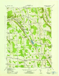
1943 · Sempronius
USGS Topo · 1:31,680
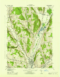
1944 · Homer
USGS Topo · 1:31,680