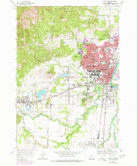
1969 Map of Corvallis
USGS Topo · Published 1978About this map
The Willamette River and Marys River converge in this mid-century portrait of the Willamette Valley, where the expansion of Corvallis meets the foothills of the Coast Range. The campus of Oregon State University and its Stadium form a central anchor for the city, while the Southern Pacific tracks trace the industrial and transit corridor through Corvallis Junction toward Philomath. Beyond the urban core, the landscape transitions into the wooded slopes of the McDonald State Forest and prominent rises like Bald Hill and Dimple Hill. Local heritage is preserved in several notable sites, including the Mt Union Cem and the Oak Lawn Mem Park (Cem), while the agricultural and recreational character of the era is evident at the Marysville Golf Course and the nearby County Fairgrounds.
Find a feature on this map
91 named features on this map. Tap any name to fly to it.
Don’t see what you’re looking for? This feature index may not catch every label — zoom into the map to look around manually.
Map Details
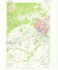
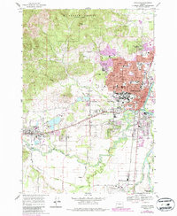
Editions of this 1969 Corvallis Map
3 editions found
Other maps of this area

1911 · Inavale
USGS Topo · 1:31,680

1912 · Halsey
USGS Topo · 1:62,500

1913 · Philomath
USGS Topo · 1:31,680

1913 · Oakville
USGS Topo · 1:31,680

1913 · Wells
USGS Topo · 1:31,680

1914 · Soap Creek
USGS Topo · 1:31,680

1916 · Albany
USGS Topo · 1:62,500

1921 · Corvallis
USGS Topo · 1:62,500

1922 · Monroe
USGS Topo · 1:62,500

1939 · Monroe
USGS Topo · 1:62,500