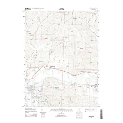
2013 Map of Coshocton
USGS Topo · Published 2013About this map
The Muskingum River forms at the confluence of the Walhonding River and Tuscarawas River, a hydrologic anchor for the city of Coshocton. This 2013 survey illustrates the dense grid of the county seat alongside the historical waterway infrastructure of the Roscoe Basin and Mudport Basin. North of the urban center, the landscape transitions into the hills of Hardscrabble Hill, where the North Appalachian Experimental Watershed reflects the region's focus on land management and agricultural research.
Find a feature on this map
144 named features on this map. Tap any name to fly to it.
Don’t see what you’re looking for? This feature index may not catch every label — zoom into the map to look around manually.
Map Details
Editions of this 2013 Coshocton Map
This is the sole edition of this map. No revisions or reprints were ever made.
Other maps of this area

1908 · Conesville
USGS Topo · 1:62,500

1909 · Cambridge
USGS Topo · 1:62,500

1910 · Conesville
USGS Topo · 1:62,500

1911 · Newcomerstown
USGS Topo · 1:62,500

1912 · Cambridge
USGS Topo · 1:62,500

1913 · Newcomerstown
USGS Topo · 1:62,500

1913 · Coshocton
USGS Topo · 1:62,500

1915 · Coshocton
USGS Topo · 1:62,500

1943 · Coshocton
USGS Topo · 1:62,500

1943 · Newcomerstown
USGS Topo · 1:62,500