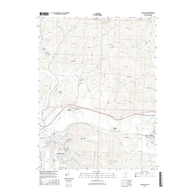
2016 Map of Coshocton
USGS Topo · Published 2016About this map
The confluence of the Walhonding River and the Tuscarawas River forms the headwaters of the Muskingum River at Coshocton, a central hub in this Ohio landscape. The city’s layout is documented alongside historic water features like the Mudport Basin, Middle Basin, and Roscoe Basin, which recall the area's canal-era geography. To the north, the small settlement of Keene is marked by the Keene Presbyterian Cem and Keene Methodist Cem, while Canal Lewisville sits just east of the river junction. The map illustrates a transition from the urban streets of Coshocton to the surrounding rural townships, where numerous family and community burial grounds such as Amity Cem, White Eyes Cem, and Oak Grove Cem dot the hillsides. Landmarks like Hardscrabble Hill and the Richard Downing Airport provide modern and topographic context to this river-valley region.
Find a feature on this map
146 named features on this map. Tap any name to fly to it.
Don’t see what you’re looking for? This feature index may not catch every label — zoom into the map to look around manually.
Map Details
Editions of this 2016 Coshocton Map
This is the sole edition of this map. No revisions or reprints were ever made.
Other maps of this area

1908 · Conesville
USGS Topo · 1:62,500

1909 · Cambridge
USGS Topo · 1:62,500

1910 · Conesville
USGS Topo · 1:62,500

1911 · Newcomerstown
USGS Topo · 1:62,500

1912 · Cambridge
USGS Topo · 1:62,500

1913 · Newcomerstown
USGS Topo · 1:62,500

1913 · Coshocton
USGS Topo · 1:62,500

1915 · Coshocton
USGS Topo · 1:62,500

1943 · Coshocton
USGS Topo · 1:62,500

1943 · Newcomerstown
USGS Topo · 1:62,500