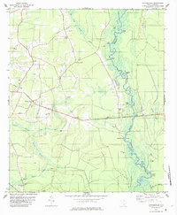
1980 Map of Cottageville
USGS Topo · Published 1984About this map
The Edisto River defines the landscape of this region, winding through a network of wetlands including Big Boy Swamp and Spooler Swamp. This 1980s-era map documents the rural community of Cottageville and the surrounding Colleton County settlements of Gloverville and Round O. The area is characterized by its historical reliance on the river, evidenced by numerous landings like Prices Landing and Kelsey Cove Landing, along with Sullivans Ferry.
Find a feature on this map
44 named features on this map. Tap any name to fly to it.
Don’t see what you’re looking for? This feature index may not catch every label — zoom into the map to look around manually.
Map Details
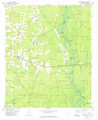
Editions of this 1980 Cottageville Map
2 editions found
Other maps of this area

1918 · Walterboro
USGS Topo · 1:62,500

1918 · Cottageville
USGS Topo · 1:62,500

1919 · Ridgeville
USGS Topo · 1:48,000

1920 · Ridgeville
USGS Topo · 1:62,500

1920 · St. George
USGS Topo · 1:48,000

1921 · St. George
USGS Topo · 1:62,500

1943 · Cottageville
USGS Topo · 1:62,500

1943 · Orangeburg
USGS Topo · 1:125,000

1943 · Walterboro
USGS Topo · 1:62,500

1943 · Ridgeville
USGS Topo · 1:62,500