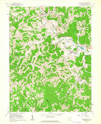
1960 Map of Cottageville
USGS Topo · Published 1962About this map
The Baltimore and Ohio railroad corridor anchors the rural landscape of Jackson and Mason Counties, following the winding valley of Mill Creek. In the early 1960s, the community of Cottageville serves as a local hub, home to the Blaine Memorial Cem and Cottageville Cem. The map reveals a deeply etched topography of narrow ridges and hollows, where family history is preserved in dozens of small upland burial grounds like King Cem, Cherry Grove Cem, and McDade Cem.
Find a feature on this map
67 named features on this map. Tap any name to fly to it.
Don’t see what you’re looking for? This feature index may not catch every label — zoom into the map to look around manually.
Map Details
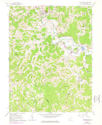
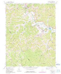
Editions of this 1960 Cottageville Map
3 editions found
Other maps of this area

1906 · Kenna
USGS Topo · 1:62,500

1906 · Winfield
USGS Topo · 1:62,500

1907 · Kenna
USGS Topo · 1:62,500

1907 · Ripley
USGS Topo · 1:62,500

1908 · Winfield
USGS Topo · 1:62,500

1908 · Ravenswood
USGS Topo · 1:62,500

1926 · Ravenswood
USGS Topo · 1:62,500

1926 · Ripley
USGS Topo · 1:62,500

1928 · Ravenswood
USGS Topo · 1:62,500

1928 · Ripley
USGS Topo · 1:62,500