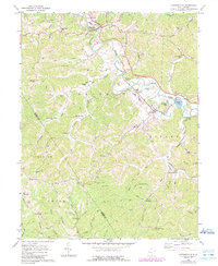
1960 Map of Cottageville
USGS Topo · Published 1989About this map
Cottageville serves as the focal point for this survey of rural Jackson County, situated along the winding course of Mill Creek. The landscape is defined by its series of north-south ridges, including Kapp Ridge and Foster Ridge, which separate the various runs and branches feeding into the main valley. The settlement pattern follows these watercourses and ridgelines, with small communities like Angerona, Evans, and Providence connected by a network of winding roads and a Jeep Trail.
Find a feature on this map
72 named features on this map. Tap any name to fly to it.
Don’t see what you’re looking for? This feature index may not catch every label — zoom into the map to look around manually.
Map Details
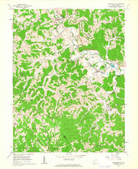
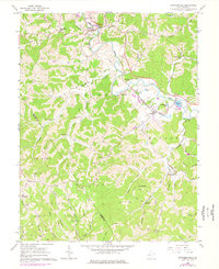
Editions of this 1960 Cottageville Map
3 editions found
Other maps of this area

1906 · Kenna
USGS Topo · 1:62,500

1906 · Winfield
USGS Topo · 1:62,500

1907 · Kenna
USGS Topo · 1:62,500

1907 · Ripley
USGS Topo · 1:62,500

1908 · Winfield
USGS Topo · 1:62,500

1908 · Ravenswood
USGS Topo · 1:62,500

1926 · Ravenswood
USGS Topo · 1:62,500

1926 · Ripley
USGS Topo · 1:62,500

1928 · Ravenswood
USGS Topo · 1:62,500

1928 · Ripley
USGS Topo · 1:62,500