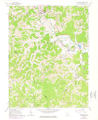
1960 Map of Cottageville
USGS Topo · Published 1977About this map
Mill Creek winds through the hills of Jackson and Mason Counties, serving as the central drainage for a landscape defined by small agrarian communities and family cemeteries in the 1960s. The Baltimore and Ohio railroad corridor follows the creek valley, connecting Cottageville and Evans to the broader regional economy. This survey captures a moment of transition, with established landmarks like the Silver Valley Sch and Otterbein Ch standing alongside newer developments like Evergreen Hills.
Find a feature on this map
76 named features on this map. Tap any name to fly to it.
Don’t see what you’re looking for? This feature index may not catch every label — zoom into the map to look around manually.
Map Details
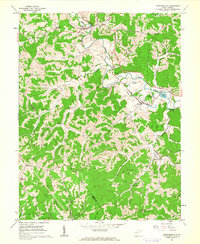
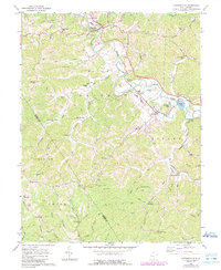
Editions of this 1960 Cottageville Map
3 editions found
Other maps of this area

1906 · Kenna
USGS Topo · 1:62,500

1906 · Winfield
USGS Topo · 1:62,500

1907 · Kenna
USGS Topo · 1:62,500

1907 · Ripley
USGS Topo · 1:62,500

1908 · Winfield
USGS Topo · 1:62,500

1908 · Ravenswood
USGS Topo · 1:62,500

1926 · Ravenswood
USGS Topo · 1:62,500

1926 · Ripley
USGS Topo · 1:62,500

1928 · Ravenswood
USGS Topo · 1:62,500

1928 · Ripley
USGS Topo · 1:62,500