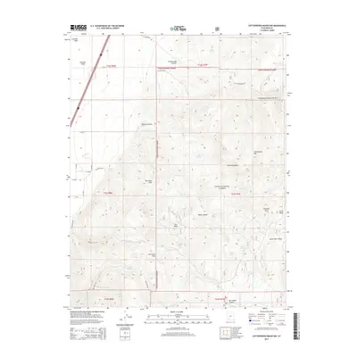
2014 Map of Cottonwood Mountain
USGS Topo · Published 2014About this map
The eastern edge of Parowan Valley meets the high elevations of the Dixie National Forest in this 2014 survey. The topography is dominated by the dramatic ascent of the Hurricane Cliffs, a major geologic transition defined by the Hurricane Fault. This north-south structural divide separates the lower valley floor from the complex canyon systems above, such as Cottonwood Canyon and the Cottonwood Canyon Narrows. Water sources are numerous across the high plateau, including Mineral Spring, Iron Peak Spring, and Warm Springs, which provide critical reference points for land use in this arid environment. Significant landmarks like Iron Peak and Cottonwood Mtn overlook a landscape of deep drainages and named valleys, including Upper Bear Valley and the smaller Little Valley near Elephant Rock.
Find a feature on this map
49 named features on this map. Tap any name to fly to it.
Don’t see what you’re looking for? This feature index may not catch every label — zoom into the map to look around manually.
Map Details
Editions of this 2014 Cottonwood Mountain Map
This is the sole edition of this map. No revisions or reprints were ever made.
Other maps of this area

1885 · Beaver
USGS Topo · 1:250,000

1886 · Kanab
USGS Topo · 1:250,000

1953 · Richfield
USGS Topo · 1:250,000

1953 · Cedar City
USGS Topo · 1:250,000

1958 · Richfield
USGS Topo · 1:250,000

1958 · Cedar City
USGS Topo · 1:250,000

1958 · Minersville
USGS Topo · 1:62,500

1962 · Cedar City
USGS Topo · 1:250,000

1971 · Buckhorn Flat
USGS Topo · 1:24,000

1971 · Paragonah
USGS Topo · 1:24,000