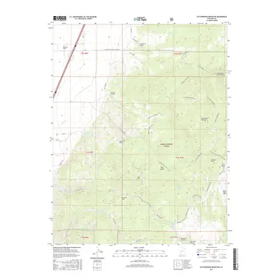
2017 Map of Cottonwood Mountain
USGS Topo · Published 2017About this map
The Hurricane Fault cuts a distinctive geological line across this landscape, separating the flat expanse of Parowan Valley from the rising heights of the Dixie National Forest. This transition is marked by the sharp rise of the Hurricane Cliffs, leading upward to the high elevation of the Markagunt Plateau. The map shows a network of named springs that supported life in this arid environment, including Warm Springs, Oak Spring, and Iron Peak Spring.
Find a feature on this map
52 named features on this map. Tap any name to fly to it.
Don’t see what you’re looking for? This feature index may not catch every label — zoom into the map to look around manually.
Map Details
Editions of this 2017 Cottonwood Mountain Map
This is the sole edition of this map. No revisions or reprints were ever made.
Other maps of this area

1885 · Beaver
USGS Topo · 1:250,000

1886 · Kanab
USGS Topo · 1:250,000

1953 · Richfield
USGS Topo · 1:250,000

1953 · Cedar City
USGS Topo · 1:250,000

1958 · Richfield
USGS Topo · 1:250,000

1958 · Cedar City
USGS Topo · 1:250,000

1958 · Minersville
USGS Topo · 1:62,500

1962 · Cedar City
USGS Topo · 1:250,000

1971 · Buckhorn Flat
USGS Topo · 1:24,000

1971 · Paragonah
USGS Topo · 1:24,000