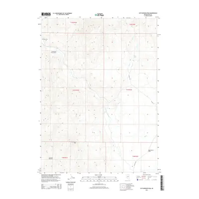
2014 Map of Cottonwood Peak
USGS Topo · Published 2014About this map
Cottonwood Peak rises above a high-desert landscape defined by the drainage of the South Fork Owyhee River and its numerous tributaries. This survey captures a remote section of the Tuscarora Mountains where the terrain transitions into the broad floor of Independence Valley. Water sources are central to the geography here, ranging from the thermal waters of Hot Sulphur Springs to seasonal flows like Skull Cr and Niagara Cr. The map reveals a land utilized for ranching and transit, noted by the presence of River Ranch Rd and Co Road 735. Significant landforms such as Cottonwood Creek Canyon and the level expanse of Swimmers Flat demonstrate the varied topography that has historically shaped movement and settlement patterns in northern Nevada.
Find a feature on this map
19 named features on this map. Tap any name to fly to it.
Don’t see what you’re looking for? This feature index may not catch every label — zoom into the map to look around manually.
Map Details
Editions of this 2014 Cottonwood Peak Map
This is the sole edition of this map. No revisions or reprints were ever made.
Other maps of this area

1955 · McDermitt
USGS Topo · 1:250,000

1956 · Tuscarora
USGS Topo · 1:62,500

1956 · Mt. Blitzen
USGS Topo · 1:62,500

1956 · Bull Run
USGS Topo · 1:62,500

1959 · McDermitt
USGS Topo · 1:250,000

1964 · Wilson Reservoir
USGS Topo · 1:62,500

1982 · Bull Run Mts
USGS Topo · 1:100,000

1982 · Tuscarora
USGS Topo · 1:100,000
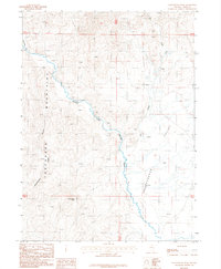
1987 · Cottonwood Peak
USGS Topo · 1:24,000
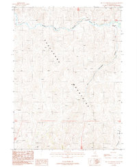
1987 · Big Cottonwood Canyon
USGS Topo · 1:24,000