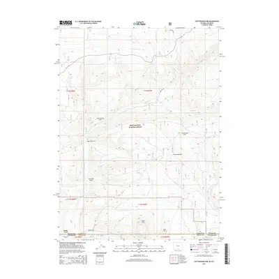
2015 Map of Cottonwood Rim
USGS Topo · Published 2015About this map
Medicine Bow National Forest dominates this high-altitude landscape along the border of Colorado and Wyoming, centered on the prominent Cottonwood Rim. The area is characterized by a complex drainage system where Wickkiup Cr and W Fork Battle Cr eventually feed the southern reaches of the map. Significant natural landmarks include Sheep Mtn and Mule Mtn, which overlook the southern valley near the small settlement of Battle Creek. Water management and natural flow are central to the terrain, evidenced by the Belvidere-Ditch in the north and the meandering Little Snake River at the southern boundary. This 2015 survey reveals a wilderness area navigated by forest routes like Sage Creek Rd and Forest Rd 807, providing a modern look at the land use and topography in this remote section of Routt and Carbon counties.
Find a feature on this map
29 named features on this map. Tap any name to fly to it.
Don’t see what you’re looking for? This feature index may not catch every label — zoom into the map to look around manually.
Map Details
Editions of this 2015 Cottonwood Rim Map
This is the sole edition of this map. No revisions or reprints were ever made.
Other maps of this area

1932 · Savery
USGS Topo · 1:96,000

1940 · Savery
USGS Topo · 1:125,000

1954 · Rawlins
USGS Topo · 1:250,000

1954 · Craig
USGS Topo · 1:250,000

1957 · Craig
USGS Topo · 1:250,000

1958 · Rawlins
USGS Topo · 1:250,000

1958 · Craig
USGS Topo · 1:250,000

1960 · Craig
USGS Topo · 1:250,000

1961 · Grieve Reservoir
USGS Topo · 1:24,000

1961 · Bridger Peak
USGS Topo · 1:24,000