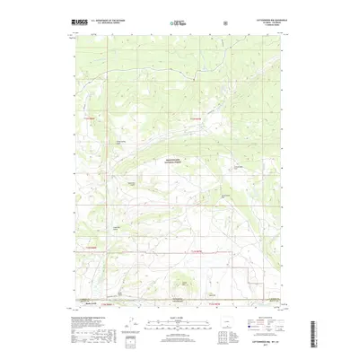
2017 Map of Cottonwood Rim
USGS Topo · Published 2017About this map
The Medicine Bow National Forest dominates this high-altitude landscape along the border of Wyoming and Colorado. Centered on the prominent Cottonwood Rim, the terrain transitions from steep ridges and gulches like Stemp Spring Gulch and Lower Big Gulch down toward the southern drainage of the Little Snake River. This 2017 survey shows a region defined by managed timberlands and water management, including the long-running Belvidere Ditch which cuts across the northern slopes to redirect vital mountain runoff.
Find a feature on this map
29 named features on this map. Tap any name to fly to it.
Don’t see what you’re looking for? This feature index may not catch every label — zoom into the map to look around manually.
Map Details
Editions of this 2017 Cottonwood Rim Map
This is the sole edition of this map. No revisions or reprints were ever made.
Other maps of this area

1932 · Savery
USGS Topo · 1:96,000

1940 · Savery
USGS Topo · 1:125,000

1954 · Rawlins
USGS Topo · 1:250,000

1954 · Craig
USGS Topo · 1:250,000

1957 · Craig
USGS Topo · 1:250,000

1958 · Rawlins
USGS Topo · 1:250,000

1958 · Craig
USGS Topo · 1:250,000

1960 · Craig
USGS Topo · 1:250,000

1961 · Grieve Reservoir
USGS Topo · 1:24,000

1961 · Bridger Peak
USGS Topo · 1:24,000