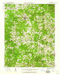
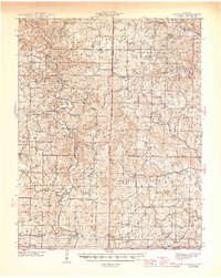
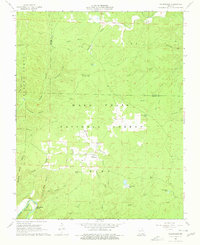
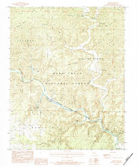
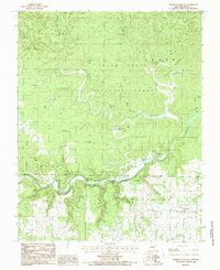
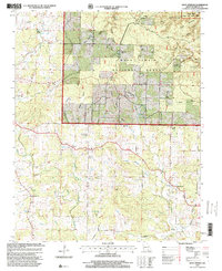
1944 Map of Couch
USGS Topo · Published 1960This historical map portrays the area of Couch in 1944, primarily covering Oregon County. Featuring a scale of 1:62500, this map provides a highly detailed snapshot of the terrain, roads, buildings, counties, and historical landmarks in the Couch region at the time. Published in 1960, it is one of 2 known editions of this map due to revisions or reprints.
Find a feature on this map
76 named features on this map. Tap any name to fly to it.
Don’t see what you’re looking for? This feature index may not catch every label — zoom into the map to look around manually.
Map Details
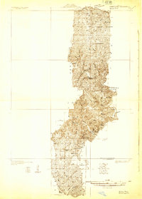
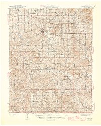
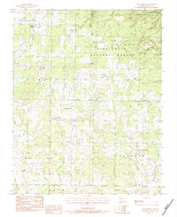
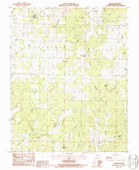
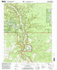
Editions of this 1944 Couch Map
2 editions found
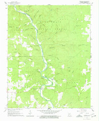
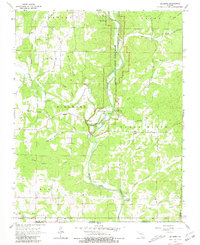
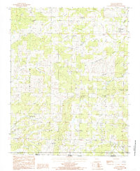
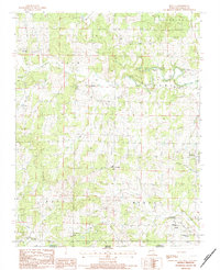
Historical Maps of Deckard-Y Through Time
23 maps found
1931 Bandyville
Oregon County, MO
1941 Gatewood
Oregon County, MO
1944 Couch
Oregon County, MO
1945 Gatewood
Oregon County, MO
1946 Couch
Oregon County, MO
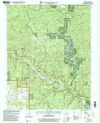
1965 Riverton
Oregon County, MO
1966 Billmore
Oregon County, MO
1968 Wilderness
Oregon County, MO
1976 Thayer SE
Oregon County, MO
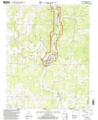
1982 Couch
Oregon County, MO
1982 Piedmont Hollow
Oregon County, MO
1983 Greer
Oregon County, MO
1983 Many Springs
Oregon County, MO
1984 Couch
Oregon County, MO
1984 Myrtle
Oregon County, MO
1984 Piedmont Hollow
Oregon County, MO
1986 Rover
Oregon County, MO
1997 Billmore
Oregon County, MO
1997 Greer
Oregon County, MO
1997 Many Springs
Oregon County, MO

1997 Piedmont Hollow
Oregon County, MO
1997 Riverton
Oregon County, MO
1997 Wilderness
Oregon County, MO