
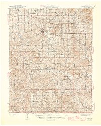
1946 Map of Couch
USGS Topo · Published 1946About this map
The county seat of Alton serves as the central hub of this 1940s landscape in southern Oregon County, where the Ozark Highlands meet the Arkansas border. The terrain is defined by a dense network of springs and hollows, including Many Springs and Cave Spr, which feed into local waterways like Piney Creek and Dry Creek. This era reveals a rural society structured around small school districts and country churches, many of which served as the primary landmarks for their respective townships such as Woodside and Couch.
Find a feature on this map
119 named features on this map. Tap any name to fly to it.
Don’t see what you’re looking for? This feature index may not catch every label — zoom into the map to look around manually.
Map Details
Editions of this 1946 Couch Map
2 editions found
Other maps of this area

1931 · Bandyville
USGS Topo · 1:48,000

1941 · Gatewood
USGS Topo · 1:62,500

1943 · Thayer
USGS Topo · 1:62,500

1944 · Van Buren
USGS Topo · 1:62,500

1944 · Couch
USGS Topo · 1:62,500

1944 · Birch Tree
USGS Topo · 1:62,500

1945 · Gatewood
USGS Topo · 1:62,500

1945 · Montier
USGS Topo · 1:62,500

1946 · Thayer
USGS Topo · 1:62,500

1946 · Van Buren
USGS Topo · 1:62,500