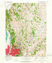
1956 Map of Council Bluffs North
USGS Topo · Published 1966About this map
The Missouri River corridor north of Council Bluffs reveals a landscape defined by the intersection of industrial transport and educational expansion in the mid-1950s. The city's residential grid pushes northward from Broadway, featuring many local landmarks like Lincoln High Sch and St Joseph Ch. The surrounding rural townships, including Hazel Dell and Crescent, are dotted with a high density of rural schoolhouses, such as School No 9 and Orchard Heights Sch, reflecting the localized nature of mid-century community life.
Find a feature on this map
68 named features on this map. Tap any name to fly to it.
Don’t see what you’re looking for? This feature index may not catch every label — zoom into the map to look around manually.
Map Details
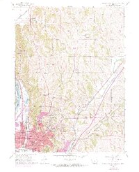
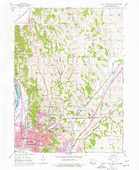
Editions of this 1956 Council Bluffs North Map
4 editions found
Other maps of this area

1893 · Omaha
USGS Topo · 1:62,500

1954 · Omaha
USGS Topo · 1:250,000

1956 · Underwood
USGS Topo · 1:24,000

1956 · Mineola
USGS Topo · 1:24,000

1956 · Council Bluffs North
USGS Topo · 1:24,000

1956 · Omaha North
USGS Topo · 1:24,000

1956 · Mc Clelland
USGS Topo · 1:24,000

1956 · Council Bluffs South
USGS Topo · 1:24,000

1956 · Omaha South
USGS Topo · 1:24,000

1957 · Omaha
USGS Topo · 1:250,000