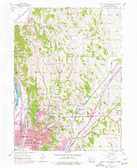
1956 Map of Council Bluffs North
USGS Topo · Published 1977About this map
The bluffs of the Missouri River valley define this mid-century survey of Pottawattamie County, Iowa, as the urban footprint of Council Bluffs expands northward toward Crescent. The landscape is etched by a dense network of railroads, including the Chicago Rock Island and Pacific and the Chicago Milwaukee St Paul and Pacific, which follow the flat valley floor of Mosquito Creek. A transition from industrial and urban grids to rural township life is evident in the numerous country schools and family burial grounds scattered through the hills, such as School No 8, Evans Cem, and Hazel Dell Ch. Updates from the 1960s and 70s show the encroachment of development around the Council Bluffs Municipal Airport and the expansion of the city boundary into the historic township of Garner.
Find a feature on this map
60 named features on this map. Tap any name to fly to it.
Don’t see what you’re looking for? This feature index may not catch every label — zoom into the map to look around manually.
Map Details
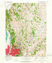
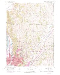
Editions of this 1956 Council Bluffs North Map
4 editions found
Other maps of this area

1893 · Omaha
USGS Topo · 1:62,500

1954 · Omaha
USGS Topo · 1:250,000

1956 · Underwood
USGS Topo · 1:24,000

1956 · Mineola
USGS Topo · 1:24,000

1956 · Council Bluffs North
USGS Topo · 1:24,000

1956 · Omaha North
USGS Topo · 1:24,000

1956 · Mc Clelland
USGS Topo · 1:24,000

1956 · Council Bluffs South
USGS Topo · 1:24,000

1956 · Omaha South
USGS Topo · 1:24,000

1957 · Omaha
USGS Topo · 1:250,000