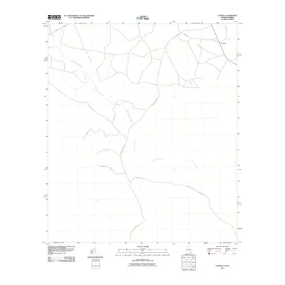
2011 Map of Council
USGS Topo · Published 2011About this map
Little Suwannee Creek meanders across this South Georgia landscape, defining the local drainage patterns and terrain of Clinch County. The small settlement of Council sits in the northeast, served by Council Rd and Court Rd 2. The surrounding countryside is characterized by a network of timber and farm roads that suggest a land managed for its natural resources and agriculture. Names like Mule Lot Rd, Hound Rd, and Pine Bark Rd provide a glimpse into the local rural culture and land use. This geographic layout reflects a region where life and commerce are closely tied to the woods and the creek, with Little Suwannee Rd acting as a primary north-south artery through the sparse woodland and clearing patches.
Find a feature on this map
12 named features on this map. Tap any name to fly to it.
Don’t see what you’re looking for? This feature index may not catch every label — zoom into the map to look around manually.
Map Details
Editions of this 2011 Council Map
This is the sole edition of this map. No revisions or reprints were ever made.
Other maps of this area

1954 · Valdosta
USGS Topo · 1:250,000

1955 · Council
USGS Topo · 1:24,000

1955 · Fargo SW
USGS Topo · 1:24,000

1956 · Sargent
USGS Topo · 1:24,000

1958 · Valdosta
USGS Topo · 1:250,000

1959 · Valdosta
USGS Topo · 1:250,000

1967 · Strange Island
USGS Topo · 1:24,000

1967 · Sargent
USGS Topo · 1:24,000

1967 · Fargo
USGS Topo · 1:24,000

1968 · Needmore
USGS Topo · 1:24,000