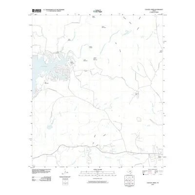
2010 Map of Council Creek
USGS Topo · Published 2010About this map
Lake Buchanan dominates the western edge of this Central Texas landscape, where the rugged topography of the Hill Country is defined by numerous peaks and drainages. The shoreline near Spider Mountain and Lion Mountain is subdivided by several local routes like Sunset Cliff Rd and Co Rd 148, reflecting the area's development for residential and recreational use. Further inland, the terrain rises toward distinctive summits such as Johny Grave Mountain and Potato Hill, while the drainage system of Council Creek and its tributaries carve deep into the limestone.
Find a feature on this map
52 named features on this map. Tap any name to fly to it.
Don’t see what you’re looking for? This feature index may not catch every label — zoom into the map to look around manually.
Map Details
Editions of this 2010 Council Creek Map
This is the sole edition of this map. No revisions or reprints were ever made.
Other maps of this area

1887 · Burnet
USGS Topo · 1:125,000

1893 · Burnet
USGS Topo · 1:125,000

1903 · Burnet
USGS Topo · 1:125,000

1909 · Burnet
USGS Topo · 1:125,000

1925 · Burnet 3-b
USGS Topo · 1:48,000
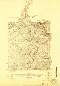
1925 · Burnet 2-c
USGS Topo · 1:48,000

1929 · Marble Falls
USGS Topo · 1:62,500

1932 · Tow
USGS Topo · 1:62,500

1932 · Marble Falls
USGS Topo · 1:62,500

1932 · Bertram
USGS Topo · 1:62,500