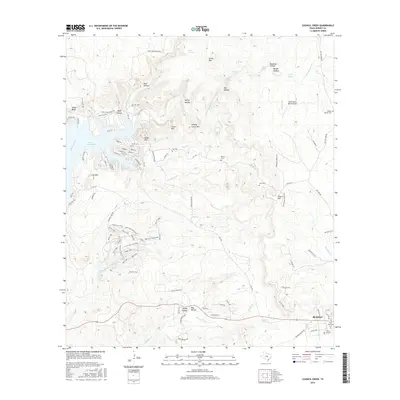
2016 Map of Council Creek
USGS Topo · Published 2016About this map
Lake Buchanan and the Colorado River dominate the western landscape of this Burnet County region, where the limestone hills are etched with a network of springs and named hollows. The terrain rises sharply to summits like Lion Mtn, Spider Mtn, and Johhny Grave Mtn, illustrating the high-relief topography characteristic of the Edwards Plateau. In the southeastern corner, the outskirts of Burnet appear, featuring several historic burial grounds including Post Mountain Cem and Fisher Fry Cem.
Find a feature on this map
104 named features on this map. Tap any name to fly to it.
Don’t see what you’re looking for? This feature index may not catch every label — zoom into the map to look around manually.
Map Details
Editions of this 2016 Council Creek Map
This is the sole edition of this map. No revisions or reprints were ever made.
Other maps of this area

1887 · Burnet
USGS Topo · 1:125,000

1893 · Burnet
USGS Topo · 1:125,000

1903 · Burnet
USGS Topo · 1:125,000

1909 · Burnet
USGS Topo · 1:125,000

1925 · Burnet 3-b
USGS Topo · 1:48,000
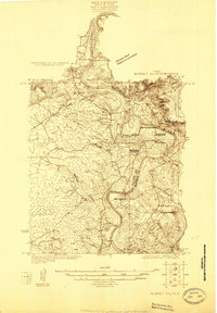
1925 · Burnet 2-c
USGS Topo · 1:48,000

1929 · Marble Falls
USGS Topo · 1:62,500

1932 · Tow
USGS Topo · 1:62,500

1932 · Marble Falls
USGS Topo · 1:62,500

1932 · Bertram
USGS Topo · 1:62,500