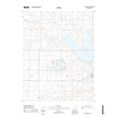
2018 Map of Council Grove Lake
USGS Topo · Published 2018About this map
The Council Grove Lake reservoir dominates the central landscape of this Morris County region, where the Neosho River and its various tributaries were harnessed for water management. The map details the transition from the structured street grid of Council Grove in the southeast to the more rural, creek-carved terrain to the north and west. Small communities like Kelso and Helmick remain identified, alongside vital local infrastructure such as the Council Grove Municipal Airport.
Find a feature on this map
52 named features on this map. Tap any name to fly to it.
Don’t see what you’re looking for? This feature index may not catch every label — zoom into the map to look around manually.
Map Details
Editions of this 2018 Council Grove Lake Map
This is the sole edition of this map. No revisions or reprints were ever made.
Other maps of this area
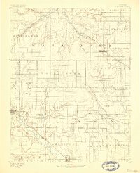
1885 · Eskridge
USGS Topo · 1:125,000
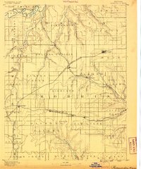
1889 · Parkerville
USGS Topo · 1:125,000
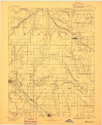
1889 · Eskridge
USGS Topo · 1:125,000
1894 · Eskridge
USGS Topo · 1:125,000
1894 · Parkerville
USGS Topo · 1:125,000
1955 · Hutchinson
USGS Topo · 1:250,000
1959 · Hutchinson
USGS Topo · 1:250,000
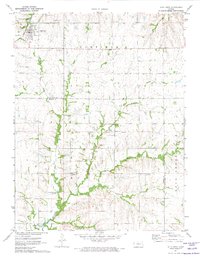
1971 · Alta Vista
USGS Topo · 1:24,000
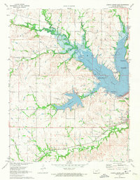
1971 · Council Grove Lake
USGS Topo · 1:24,000
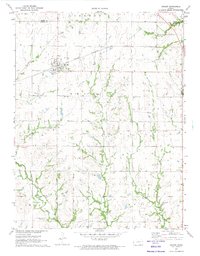
1971 · Dwight
USGS Topo · 1:24,000