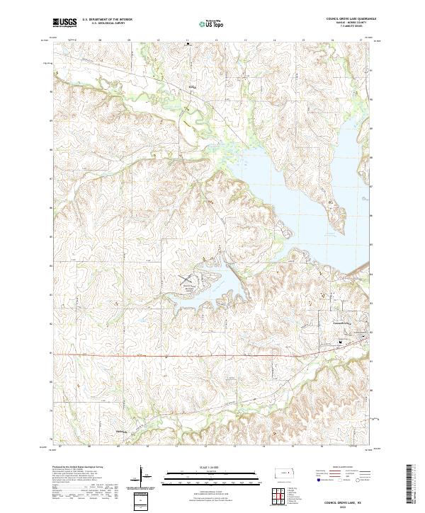
2022 Map of Council Grove Lake
USGS Topo · Published 2022About this map
Council Grove Lake dominates this portion of Morris County, where the impounded waters of the Neosho River and Canning Creek create an intricate shoreline of narrow inlets and ridges. To the north, the small settlement of Kelso remains a distinct marker on the landscape near Kelso Cem, while to the south, Helmick sits along Elm Cr. The geography here is defined by the transition from the upland prairies of the Flint Hills into the river valleys, as evidenced by the numerous tributaries like Gilmore Creek, Lairds Cr, and Slough Cr that feed into the reservoir system.
Find a feature on this map
52 named features on this map. Tap any name to fly to it.
Don’t see what you’re looking for? This feature index may not catch every label — zoom into the map to look around manually.
Map Details
Editions of this 2022 Council Grove Lake Map
This is the sole edition of this map. No revisions or reprints were ever made.
Other maps of this area

1885 · Eskridge
USGS Topo · 1:125,000

1889 · Parkerville
USGS Topo · 1:125,000

1889 · Eskridge
USGS Topo · 1:125,000

1894 · Eskridge
USGS Topo · 1:125,000

1894 · Parkerville
USGS Topo · 1:125,000

1955 · Hutchinson
USGS Topo · 1:250,000

1959 · Hutchinson
USGS Topo · 1:250,000

1971 · Alta Vista
USGS Topo · 1:24,000
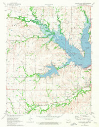
1971 · Council Grove Lake
USGS Topo · 1:24,000
1971 · Dwight
USGS Topo · 1:24,000