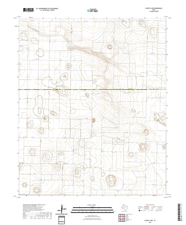
2022 Map of County Line
USGS Topo · Published 2022About this map
Yellow House Draw winds through this High Plains landscape, marking a prominent topographic depression across a region defined by its wide, agricultural expanses. Straddling the boundary between Bailey Co and Cochran Co, the map reveals a meticulously surveyed grid of section lines and rural thoroughfares including Co Rd 195 and Co Rd 232.
Find a feature on this map
29 named features on this map. Tap any name to fly to it.
Don’t see what you’re looking for? This feature index may not catch every label — zoom into the map to look around manually.
Map Details
Editions of this 2022 County Line Map
This is the sole edition of this map. No revisions or reprints were ever made.
Other maps of this area

1954 · Brownfield
USGS Topo · 1:250,000

1958 · Brownfield
USGS Topo · 1:250,000

1962 · Brownfield
USGS Topo · 1:250,000

1964 · Pep
USGS Topo · 1:24,000
1964 · Beck
USGS Topo · 1:24,000

1965 · Pettit
USGS Topo · 1:24,000
1968 · Bula
USGS Topo · 1:24,000
1968 · Upper White Lake
USGS Topo · 1:24,000

1969 · Enochs
USGS Topo · 1:24,000

1971 · Whiteface NW
USGS Topo · 1:24,000