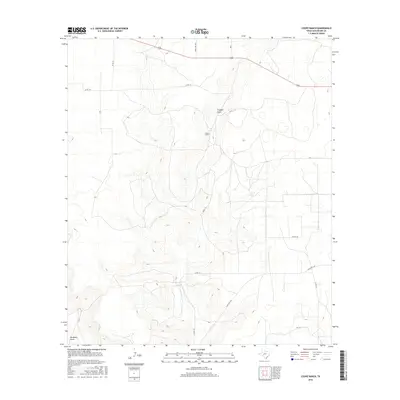
2016 Map of Coupe Ranch
USGS Topo · Published 2016About this map
Coupe Ranch serves as the namesake landmark for this segment of Schleicher County, situated within a landscape defined by intermittent watercourses and expansive ranching operations. The terrain is notably marked by the passage of Granger Draw through the central portion of the map and Buckhorn Draw in the southwest, features that dictate the drainage patterns and historical land use of this Texas plateau region. This 2016 survey highlights a sparse network of county and ranch roads, such as Co RD 117 and Ranch Rd 1828, that connect isolated homesteads and livestock facilities. The concentration of transportation routes like 190 in the northern reaches contrast with the more open, undeveloped southern sections, offering a clear record of modern rural infrastructure and the continued importance of water access in an arid environment.
Find a feature on this map
13 named features on this map. Tap any name to fly to it.
Don’t see what you’re looking for? This feature index may not catch every label — zoom into the map to look around manually.
Map Details
Editions of this 2016 Coupe Ranch Map
This is the sole edition of this map. No revisions or reprints were ever made.
Other maps of this area

1954 · Sonora
USGS Topo · 1:250,000

1958 · Sonora
USGS Topo · 1:250,000

1964 · Eldorado NW
USGS Topo · 1:24,000

1964 · Eldorado SW
USGS Topo · 1:24,000

1964 · Oglesby Ranch
USGS Topo · 1:24,000

1964 · Sonora NW
USGS Topo · 1:24,000

1964 · Coupe Ranch
USGS Topo · 1:24,000

1964 · Bailey Draw
USGS Topo · 1:24,000

1964 · Moore Ranch
USGS Topo · 1:24,000

1967 · Nolen Draw
USGS Topo · 1:24,000