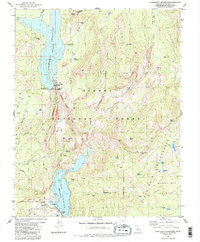
1982 Map of Courtright Reservoir
USGS Topo · Published 1983About this map
The Kings River North Fork anchors this high-elevation landscape in the early 1980s, revealing a specialized infrastructure of hydroelectric power and wilderness recreation. Significant engineering features like the Underground Powerhouse, Surge Chamber, and Substation support the massive reservoirs of Courtright Reservoir and Wishon Reservoir. These bodies of water are held by the Courtright Dam and Wishon Dam, respectively, with bathymetric data provided by Pacific Gas and Electric Co.
Find a feature on this map
48 named features on this map. Tap any name to fly to it.
Don’t see what you’re looking for? This feature index may not catch every label — zoom into the map to look around manually.
Map Details
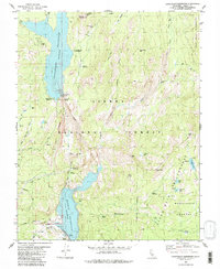
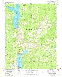
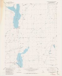
Editions of this 1982 Courtright Reservoir Map
4 editions found
Other maps of this area

1903 · Tehipite
USGS Topo · 1:125,000

1904 · Kaiser
USGS Topo · 1:125,000

1905 · Tehipite
USGS Topo · 1:125,000

1912 · Mt. Goddard
USGS Topo · 1:125,000

1922 · Trimmer
USGS Topo · 1:96,000

1924 · Dinuba
USGS Topo · 1:125,000

1947 · Mariposa
USGS Topo · 1:250,000

1948 · Fresno
USGS Topo · 1:250,000

1948 · Mariposa
USGS Topo · 1:250,000

1952 · Tehipite Dome
USGS Topo · 1:62,500