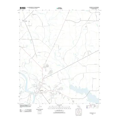
2012 Map of Coushatta
USGS Topo · Published 2012About this map
The Red River serves as the western anchor for this area of Red River Parish, winding south past the town of Coushatta. This landscape is defined by its intricate drainage network, where Grand Bayou, Coney Bayou, and Bayou Chicot snake through the terrain alongside numerous branches like Forked Pine Br and Posey Br. The settlement pattern centers on the corridor between the river and the inland bayous, with Edgefield and Halfway established as key points of habitation north of the parish seat.
Find a feature on this map
96 named features on this map. Tap any name to fly to it.
Don’t see what you’re looking for? This feature index may not catch every label — zoom into the map to look around manually.
Map Details
Editions of this 2012 Coushatta Map
This is the sole edition of this map. No revisions or reprints were ever made.
Other maps of this area

1937 · Campti NW
USGS Topo · 1:31,680

1938 · Chemard Lake
USGS Topo · 1:31,680

1938 · Lake End
USGS Topo · 1:31,680

1941 · East Point
USGS Topo · 1:31,680

1944 · Campti
USGS Topo · 1:62,500

1947 · Ashland
USGS Topo · 1:62,500

1947 · Hanna
USGS Topo · 1:62,500

1948 · Coushatta
USGS Topo · 1:62,500

1948 · Campti
USGS Topo · 1:62,500

1953 · Alexandria
USGS Topo · 1:250,000