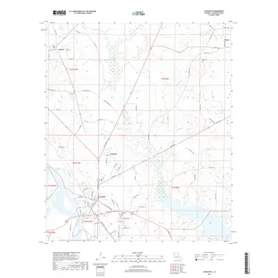
2018 Map of Coushatta
USGS Topo · Published 2018About this map
Coushatta serves as the focal point of this Red River Parish landscape, situated where the Red River bends through the southwestern corner of the quadrangle. The town's street grid is clearly defined, extending toward the neighboring community of Edgefield. The surrounding terrain is a complex network of waterways, including Grand Bayou, Coushatta Bayou, and the winding Coney Bayou. These drainages create a series of low-lying basins and wetlands that have historically shaped the local road and settlement patterns.
Find a feature on this map
91 named features on this map. Tap any name to fly to it.
Don’t see what you’re looking for? This feature index may not catch every label — zoom into the map to look around manually.
Map Details
Editions of this 2018 Coushatta Map
This is the sole edition of this map. No revisions or reprints were ever made.
Other maps of this area

1937 · Campti NW
USGS Topo · 1:31,680

1938 · Chemard Lake
USGS Topo · 1:31,680

1938 · Lake End
USGS Topo · 1:31,680

1941 · East Point
USGS Topo · 1:31,680

1944 · Campti
USGS Topo · 1:62,500

1947 · Ashland
USGS Topo · 1:62,500

1947 · Hanna
USGS Topo · 1:62,500

1948 · Coushatta
USGS Topo · 1:62,500

1948 · Campti
USGS Topo · 1:62,500

1953 · Alexandria
USGS Topo · 1:250,000