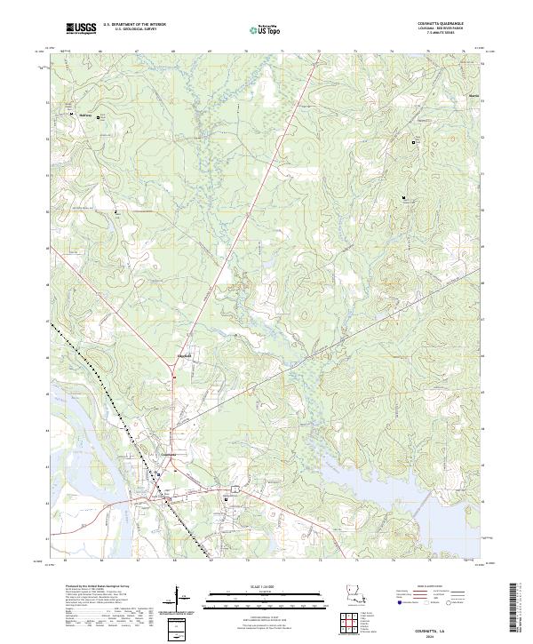
2024 Map of Coushatta
USGS Topo · Published 2024About this map
Coushatta serves as the administrative heart of the region, anchored by the Red River Parish Courthouse near the banks of the Red River. The town sits at a geographical crossroads where the river's winding path meets significant inland waterways like Bayou Nicholas and Coushatta Bayou. The surrounding landscape is characterized by a high density of rural burial grounds, including Wesley Chapel Cem, Saint Pauls Cem, and Hand Cem, which provide essential points of reference for genealogical research.
Find a feature on this map
98 named features on this map. Tap any name to fly to it.
Don’t see what you’re looking for? This feature index may not catch every label — zoom into the map to look around manually.
Map Details
Editions of this 2024 Coushatta Map
This is the sole edition of this map. No revisions or reprints were ever made.
Other maps of this area

1937 · Campti NW
USGS Topo · 1:31,680

1938 · Chemard Lake
USGS Topo · 1:31,680

1938 · Lake End
USGS Topo · 1:31,680

1941 · East Point
USGS Topo · 1:31,680

1944 · Campti
USGS Topo · 1:62,500

1947 · Ashland
USGS Topo · 1:62,500

1947 · Hanna
USGS Topo · 1:62,500

1948 · Coushatta
USGS Topo · 1:62,500

1948 · Campti
USGS Topo · 1:62,500

1953 · Alexandria
USGS Topo · 1:250,000