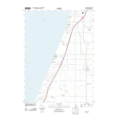
2011 Map of Covert
USGS Topo · Published 2011About this map
Lake Michigan dominates the western shoreline of this Van Buren County region, where the coast is marked by a series of residential enclaves and prominent terrain features like Thunder Mountain and the Roosevelt Hills. The interior landscape is defined by the North-South corridor of the Blue Star Memorial Hwy, which connects several small settlements including Wildwood, Palisades Park, and Crystal Beach. This 2011 survey shows how the area balances recreation and public lands with the community hub at Covert.
Find a feature on this map
63 named features on this map. Tap any name to fly to it.
Don’t see what you’re looking for? This feature index may not catch every label — zoom into the map to look around manually.
Map Details
Editions of this 2011 Covert Map
This is the sole edition of this map. No revisions or reprints were ever made.
Other maps of this area

1927 · Hartford
USGS Topo · 1:62,500

1927 · Bangor
USGS Topo · 1:62,500

1927 · Benton Harbor
USGS Topo · 1:62,500

1927 · South Haven
USGS Topo · 1:62,500

1930 · South Haven
USGS Topo · 1:62,500

1930 · Benton Harbor
USGS Topo · 1:62,500

1931 · Bangor
USGS Topo · 1:62,500

1931 · Hartford
USGS Topo · 1:62,500

1943 · South Haven
USGS Topo · 1:62,500

1943 · Bangor
USGS Topo · 1:62,500