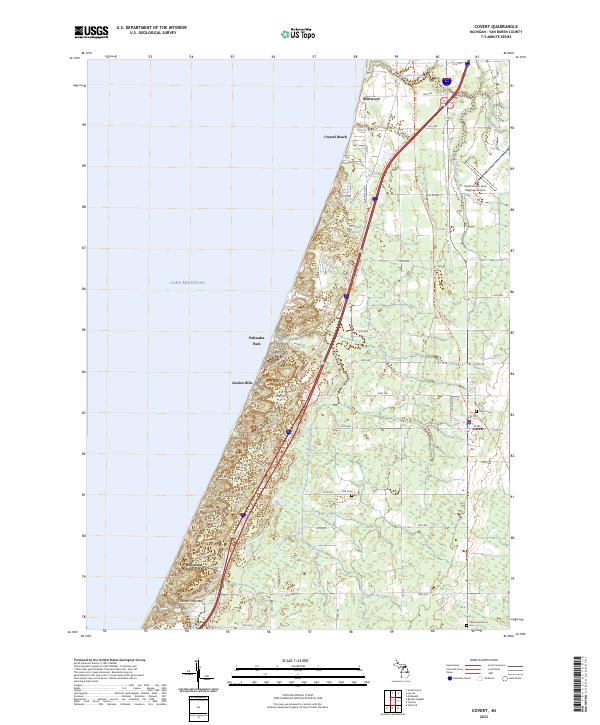
2023 Map of Covert
USGS Topo · Published 2023About this map
Lake Michigan shapes the western edge of this coastal landscape, where high dunes and wooded bluffs like Thunder Mountain overlook the shoreline. The interior is defined by a network of drainage systems, including Brandywine Creek and the marshy expanse of Dyckman Swamp, which sits just inland from the primary transit corridors. Settlement patterns here reflect both seasonal recreation and agricultural roots, with shoreline communities like Palisades Park, Linden Hills, and Crystal Beach contrasting with the inland village of Covert.
Find a feature on this map
57 named features on this map. Tap any name to fly to it.
Don’t see what you’re looking for? This feature index may not catch every label — zoom into the map to look around manually.
Map Details
Editions of this 2023 Covert Map
This is the sole edition of this map. No revisions or reprints were ever made.
Other maps of this area

1927 · Hartford
USGS Topo · 1:62,500

1927 · Bangor
USGS Topo · 1:62,500

1927 · Benton Harbor
USGS Topo · 1:62,500

1927 · South Haven
USGS Topo · 1:62,500

1930 · South Haven
USGS Topo · 1:62,500

1930 · Benton Harbor
USGS Topo · 1:62,500

1931 · Bangor
USGS Topo · 1:62,500

1931 · Hartford
USGS Topo · 1:62,500

1943 · South Haven
USGS Topo · 1:62,500

1943 · Bangor
USGS Topo · 1:62,500