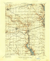
1911 Map of Covington
USGS Topo · Published 1946About this map
The Stillwater River and its numerous tributaries, including Greenville Creek and Canyon Run, anchor this West-Central Ohio landscape during a period of dense rural development. The area is defined by a sophisticated network of turnpikes such as the Piqua and Greenville Turnpike and the Hamilton Turnpike, which connected agrarian hubs like Bradford, Versailles, and Gettysburg. A striking density of local schoolhouses suggests a deeply rooted community structure, with curious names like Lickskillet School, Mole Hill School, and Tadpole School marking nearly every square mile.
Find a feature on this map
119 named features on this map. Tap any name to fly to it.
Don’t see what you’re looking for? This feature index may not catch every label — zoom into the map to look around manually.
Map Details
Editions of this 1911 Covington Map
This is the sole edition of this map. No revisions or reprints were ever made.
Other maps of this area
1904 · Dayton
USGS Topo · 1:62,500
1905 · Brookville
USGS Topo · 1:62,500
1906 · Dayton
USGS Topo · 1:62,500

1908 · St. Henry
USGS Topo · 1:62,500
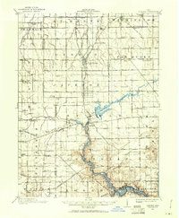
1909 · Loramie
USGS Topo · 1:62,500
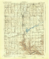
1911 · Loramie
USGS Topo · 1:62,500
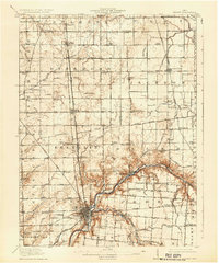
1913 · Sidney
USGS Topo · 1:62,500
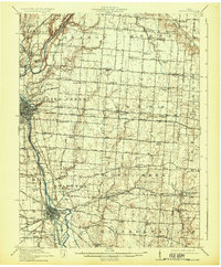
1914 · Troy
USGS Topo · 1:62,500
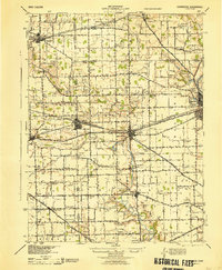
1944 · Covington
USGS Topo · 1:62,500
1944 · Sidney
USGS Topo · 1:62,500