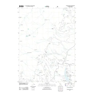
2012 Map of Covington Mill
USGS Topo · Published 2012About this map
Trinity Lake defines the southeastern corner of this landscape, serving as the focal point for the settlement at Covington Mill. The topography is dominated by steep drainages and high alpine basins, including Bear Basin and the heights of Seven Up Peak and Gibson Peak. These peaks overlook a network of high-elevation water bodies such as Seven Up Lake, Gibson Lake, and Lake Eleanor.
Find a feature on this map
58 named features on this map. Tap any name to fly to it.
Don’t see what you’re looking for? This feature index may not catch every label — zoom into the map to look around manually.
Map Details
Editions of this 2012 Covington Mill Map
This is the sole edition of this map. No revisions or reprints were ever made.
Other maps of this area

1886 · Shasta
USGS Topo · 1:250,000

1890 · Red Bluff
USGS Topo · 1:250,000

1894 · Red Bluff
USGS Topo · 1:250,000

1894 · Shasta
USGS Topo · 1:250,000

1913 · Weaverville
USGS Topo · 1:125,000

1923 · Sawyers Bar
USGS Topo · 1:125,000

1931 · Etna
USGS Topo · 1:96,000

1934 · Etna
USGS Topo · 1:125,000

1948 · Weed
USGS Topo · 1:250,000

1950 · Weed
USGS Topo · 1:250,000