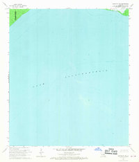
1968 Map of Covington SW
USGS Topo · Published 1969About this map
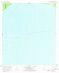
Lake Pontchartrain dominates this mid-century hydrographic survey, revealing the vast expanse of open water along the southern edges of St Tammany Parish and Tangipahoa Parish. The map serves as a snapshot of the lake's floor before modern development, based on 1968 planetable surveys and hydrographic data from the late 1960s. Navigational markers such as the three distinct Light points in the southern and eastern reaches of the quadrangle provide essential coordinates for local history enthusiasts tracking early maritime traffic and shoreline changes. The boundary between the two parishes is clearly delineated in the northwestern corner, cutting through the marshy transition into the open water. This specialized survey focuses on depth curves and soundings, offering a rare look at the underwater topography and the precise locations of aids to navigation that guided vessels through these Louisiana waters.
Find a feature on this map
3 named features on this map. Tap any name to fly to it.
Don’t see what you’re looking for? This feature index may not catch every label — zoom into the map to look around manually.
Map Details
Editions of this 1968 Covington SW Map
2 editions found
Other maps of this area

1891 · Spanish Fort
USGS Topo · 1:62,500

1892 · Bonnet Carre
USGS Topo · 1:62,500

1935 · Covington
USGS Topo · 1:62,500

1935 · Ponchatoula
USGS Topo · 1:62,500

1936 · Bonnet Carre
USGS Topo · 1:62,500

1936 · Spanish Fort
USGS Topo · 1:62,500

1939 · Ponchatoula
USGS Topo · 1:62,500

1939 · Covington
USGS Topo · 1:62,500

1950 · Covington
USGS Topo · 1:62,500

1951 · Ponchatoula
USGS Topo · 1:62,500