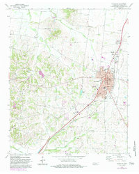
1972 Map of Covington
USGS Topo · Published 1983About this map
Covington serves as the focal point of this Tennessee landscape, centered along the Illinois Central Gulf rail line. The town's grid is detailed with street names like Rose Ave and Liberty St, alongside essential civic structures including the Courthouse, City Hall, and the County Hospital. Beyond the urban center, the map reveals a network of small rural communities such as Holly Grove, Mount Lebanon, and Garland, each linked by winding creeks like Town Creek and Mathis Branch. The settlement pattern is characterized by its numerous religious and memorial sites, including Avery Chapel, Midway Ch, and several family cemeteries like Walton Cem and Towson Cem. Notable local landmarks from the early 1970s, such as the Drive-in Theater and the Radio Tower (WKBL), reflect the mid-century infrastructure and social character of Tipton County during this era.
Find a feature on this map
53 named features on this map. Tap any name to fly to it.
Don’t see what you’re looking for? This feature index may not catch every label — zoom into the map to look around manually.
Map Details
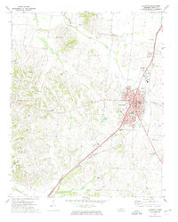
Editions of this 1972 Covington Map
2 editions found
Other maps of this area

1942 · Millington
USGS Topo · 1:62,500

1954 · Mason
USGS Topo · 1:62,500

1956 · Blytheville
USGS Topo · 1:250,000

1959 · Blytheville
USGS Topo · 1:250,000

1960 · Millington
USGS Topo · 1:62,500

1961 · Rialto
USGS Topo · 1:62,500

1962 · Rialto
USGS Topo · 1:62,500

1963 · Osceola
USGS Topo · 1:62,500

1965 · Osceola
USGS Topo · 1:62,500

1965 · Brighton
USGS Topo · 1:24,000