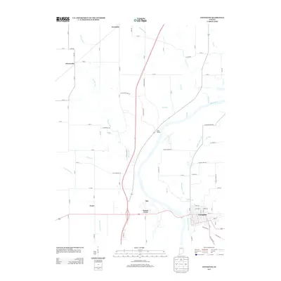
2013 Map of Covington
USGS Topo · Published 2013About this map
The Wabash River corridor near Covington serves as the focal point for this survey, detailing a landscape where historical water transport and modern infrastructure converge. Traces of the historic Wabash and Erie Canal remain visible, running parallel to the river and cutting through the heart of the region. This waterway once formed a vital artery for Indiana's early economy, and its path remains a significant landmark for local researchers.
Find a feature on this map
82 named features on this map. Tap any name to fly to it.
Don’t see what you’re looking for? This feature index may not catch every label — zoom into the map to look around manually.
Map Details
Editions of this 2013 Covington Map
This is the sole edition of this map. No revisions or reprints were ever made.
Other maps of this area

1899 · Danville
USGS Topo · 1:62,500

1900 · Danville
USGS Topo · 1:62,500

1933 · Hoopeston
USGS Topo · 1:48,000

1938 · Hoopeston
USGS Topo · 1:62,500

1950 · Danville SE
USGS Topo · 1:24,000

1950 · Danville NE
USGS Topo · 1:24,000

1951 · Danville NE
USGS Topo · 1:24,000

1951 · Danville SE
USGS Topo · 1:24,000

1953 · Danville
USGS Topo · 1:250,000

1955 · Danville
USGS Topo · 1:250,000