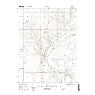
2016 Map of Covington
USGS Topo · Published 2016About this map
The Wabash River carves a deep valley through this portion of western Indiana, dictating the development of Covington and surrounding hamlets. This landscape is defined by the legacy of early transportation, most notably the path of the Wabash and Erie Canal, which parallels the river north of town. The transition from industrial transport to rural agricultural life is evident in the cluster of small settlements like Olin, Romine Corner, and Foster that dot the countryside between the river's winding tributaries.
Find a feature on this map
72 named features on this map. Tap any name to fly to it.
Don’t see what you’re looking for? This feature index may not catch every label — zoom into the map to look around manually.
Map Details
Editions of this 2016 Covington Map
This is the sole edition of this map. No revisions or reprints were ever made.
Other maps of this area

1899 · Danville
USGS Topo · 1:62,500

1900 · Danville
USGS Topo · 1:62,500

1933 · Hoopeston
USGS Topo · 1:48,000

1938 · Hoopeston
USGS Topo · 1:62,500

1950 · Danville SE
USGS Topo · 1:24,000

1950 · Danville NE
USGS Topo · 1:24,000

1951 · Danville NE
USGS Topo · 1:24,000

1951 · Danville SE
USGS Topo · 1:24,000

1953 · Danville
USGS Topo · 1:250,000

1955 · Danville
USGS Topo · 1:250,000