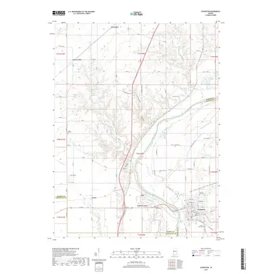
2019 Map of Covington
USGS Topo · Published 2019About this map
The Wabash River valley defines the character of this West Central Indiana landscape, where the city of Covington serves as a focal point at the junction of Fountain and Vermillion counties. The map records the enduring legacy of 19th-century infrastructure through the remaining traces of the Wabash and Erie Canal, which parallels the river's eastern bank. Moving away from the river, the terrain transitions into the agricultural uplands of Warren County, marked by smaller settlements like Marshfield and Johnsonville.
Find a feature on this map
77 named features on this map. Tap any name to fly to it.
Don’t see what you’re looking for? This feature index may not catch every label — zoom into the map to look around manually.
Map Details
Editions of this 2019 Covington Map
This is the sole edition of this map. No revisions or reprints were ever made.
Other maps of this area

1899 · Danville
USGS Topo · 1:62,500

1900 · Danville
USGS Topo · 1:62,500

1933 · Hoopeston
USGS Topo · 1:48,000

1938 · Hoopeston
USGS Topo · 1:62,500

1950 · Danville SE
USGS Topo · 1:24,000

1950 · Danville NE
USGS Topo · 1:24,000

1951 · Danville NE
USGS Topo · 1:24,000

1951 · Danville SE
USGS Topo · 1:24,000

1953 · Danville
USGS Topo · 1:250,000

1955 · Danville
USGS Topo · 1:250,000