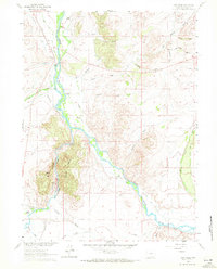
1961 Map of Cow Creek
USGS Topo · Published 1972About this map
North Platte River waters dominate this Carbon County landscape, winding through a complex network of irrigation systems and working ranchlands in the early 1960s. The presence of numerous named water projects, such as the Encampment and Pacific Ditch, Low Ditch, and Adams Ditch, underscores the area's agricultural dependency on the river's flow. Settlement is defined by established holdings like Ryan Ranch and the Flying Diamond Ranch, providing specific locations for genealogists tracing regional land use. To the west, the terrain rises sharply into the jagged formations of Canyon Rocks and Rainbow Canyon, culminating at Needle Peak. This survey also records isolated historical markers, including a lone Grave located east of Harrison Creek, offering a small but poignant detail for local historians.
Find a feature on this map
37 named features on this map. Tap any name to fly to it.
Don’t see what you’re looking for? This feature index may not catch every label — zoom into the map to look around manually.
Map Details
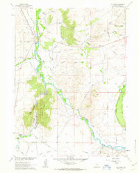
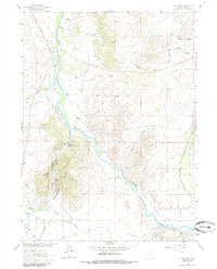
Editions of this 1961 Cow Creek Map
3 editions found
Other maps of this area

1939 · Saratoga
USGS Topo · 1:125,000

1954 · Rawlins
USGS Topo · 1:250,000

1958 · Rawlins
USGS Topo · 1:250,000

1961 · Ryan Park
USGS Topo · 1:24,000
1961 · Kennaday Peak
USGS Topo · 1:24,000
1961 · Finley Reservoir
USGS Topo · 1:24,000

1961 · Gunst Reservoir
USGS Topo · 1:24,000
1961 · Barcus Peak
USGS Topo · 1:24,000

1961 · Encampment
USGS Topo · 1:24,000
1961 · Saratoga
USGS Topo · 1:24,000