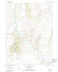
1961 Map of Cow Creek
USGS Topo · Published 1985About this map
The North Platte River winds through this high-plains landscape in Carbon County, defining a valley where water management and ranching dictate the pattern of human settlement. The 1961 field survey records an extensive network of irrigation infrastructure essential for the high-altitude climate, including the Ridding No 1 Ditch, Cherokee Ditch, and Reynolds Ditch. These canals trace the contours of the land to support several named agricultural holdings such as Ryan Ranch, Elk Hollow Ranch, and Rainbow Ranch.
Find a feature on this map
44 named features on this map. Tap any name to fly to it.
Don’t see what you’re looking for? This feature index may not catch every label — zoom into the map to look around manually.
Map Details
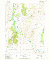
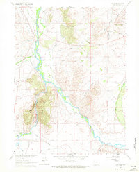
Editions of this 1961 Cow Creek Map
3 editions found
Other maps of this area

1939 · Saratoga
USGS Topo · 1:125,000

1954 · Rawlins
USGS Topo · 1:250,000

1958 · Rawlins
USGS Topo · 1:250,000

1961 · Ryan Park
USGS Topo · 1:24,000
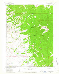
1961 · Kennaday Peak
USGS Topo · 1:24,000
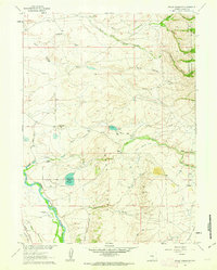
1961 · Finley Reservoir
USGS Topo · 1:24,000

1961 · Gunst Reservoir
USGS Topo · 1:24,000
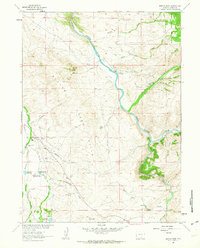
1961 · Barcus Peak
USGS Topo · 1:24,000

1961 · Encampment
USGS Topo · 1:24,000
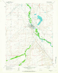
1961 · Saratoga
USGS Topo · 1:24,000