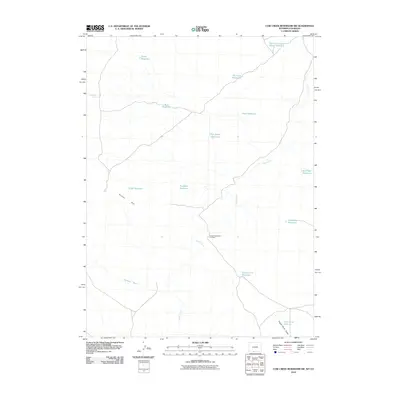
2010 Map of Cow Creek Reservoir SW
USGS Topo · Published 2010About this map
Kinney Rim dominates the western landscape of this Sweetwater County survey, marking a significant topographical break in a region defined by its drainage systems and water management. In this arid expanse, the distribution of numerous small catchments like Muir Reservoir, Humboldt Reservoir, and Forsaken Reservoir illustrates the infrastructure required to support ranching and wildlife in high-desert terrain. Shell Creek meanders through the central and eastern portions, providing a natural corridor for movement and water through the basin.
Find a feature on this map
17 named features on this map. Tap any name to fly to it.
Don’t see what you’re looking for? This feature index may not catch every label — zoom into the map to look around manually.
Map Details
Editions of this 2010 Cow Creek Reservoir SW Map
This is the sole edition of this map. No revisions or reprints were ever made.
Other maps of this area

1954 · Vernal
USGS Topo · 1:250,000

1954 · Rock Springs
USGS Topo · 1:250,000

1958 · Vernal
USGS Topo · 1:250,000

1958 · Rock Springs
USGS Topo · 1:250,000

1960 · Vernal
USGS Topo · 1:250,000

1962 · Rock Springs
USGS Topo · 1:250,000

1966 · Hiawatha
USGS Topo · 1:24,000

1968 · Chicken Creek East
USGS Topo · 1:24,000
1968 · Chicken Creek SE
USGS Topo · 1:24,000

1969 · Coffeepot Spring
USGS Topo · 1:24,000