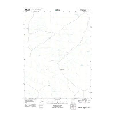
2012 Map of Cow Creek Reservoir SW
USGS Topo · Published 2012About this map
Shell Cr meanders across this high desert landscape, serving as the primary drainage for a network of ephemeral washes and ranching-related impoundments. The terrain is defined by its water management, with numerous named catchments such as Humboldt Reservoir, Muir Reservoir, and the evocatively named Forsaken Reservoir and Dead End Reservoir scattered across the sagebrush. These features illustrate the vital importance of water storage in this arid environment, likely supporting livestock and wildlife.
Find a feature on this map
16 named features on this map. Tap any name to fly to it.
Don’t see what you’re looking for? This feature index may not catch every label — zoom into the map to look around manually.
Map Details
Editions of this 2012 Cow Creek Reservoir SW Map
This is the sole edition of this map. No revisions or reprints were ever made.
Other maps of this area

1954 · Vernal
USGS Topo · 1:250,000

1954 · Rock Springs
USGS Topo · 1:250,000

1958 · Vernal
USGS Topo · 1:250,000

1958 · Rock Springs
USGS Topo · 1:250,000

1960 · Vernal
USGS Topo · 1:250,000

1962 · Rock Springs
USGS Topo · 1:250,000

1966 · Hiawatha
USGS Topo · 1:24,000

1968 · Chicken Creek East
USGS Topo · 1:24,000
1968 · Chicken Creek SE
USGS Topo · 1:24,000

1969 · Coffeepot Spring
USGS Topo · 1:24,000