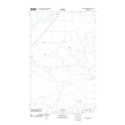
2011 Map of Cowan Reservoir
USGS Topo · Published 2011About this map
Cowan Reservoir and its namesake dam anchor this high-plains landscape in Hill County, where managed water resources define the local geography. The area is characterized by an extensive network of small-scale dams and catchments, including Ugly Dam, Peehole Dam, and Brown Dam, illustrating the vital importance of water storage for ranching and agriculture in north-central Montana. The terrain is marked by distinctive geological features such as Square Butte and the winding Sand Coulee, which cuts through the northern portion of the quadrangle. Several ephemeral and perennial waterways, most notably Big Sandy Creek and Boxelder Creek, traverse the land, joined by local routes like Sangreys School Rd and Boneau Rd that connect the dispersed rural properties across this arid prairie environment.
Find a feature on this map
24 named features on this map. Tap any name to fly to it.
Don’t see what you’re looking for? This feature index may not catch every label — zoom into the map to look around manually.
Map Details
Editions of this 2011 Cowan Reservoir Map
This is the sole edition of this map. No revisions or reprints were ever made.
Other maps of this area

1904 · Boxelder
USGS Topo · 1:62,500

1906 · Boxelder
USGS Topo · 1:62,500

1919 · Big Sandy
USGS Topo · 1:125,000

1953 · Havre
USGS Topo · 1:250,000

1954 · Shelby
USGS Topo · 1:250,000

1957 · Havre
USGS Topo · 1:250,000

1958 · Shelby
USGS Topo · 1:250,000

1958 · Havre
USGS Topo · 1:250,000

1959 · Laredo
USGS Topo · 1:62,500

1959 · Centennial Mountain
USGS Topo · 1:62,500