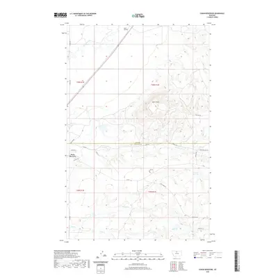
2020 Map of Cowan Reservoir
USGS Topo · Published 2020About this map
Rocky Boy West sits at the southwestern corner of this landscape, marking a concentrated area of settlement near the border of Hill and Chouteau counties. The terrain is defined by a network of drainages that feed into local storage sites, notably the Cowan Reservoir and Dry Fork Reservoir. These water management features are critical in this part of Montana, supporting the ranching and agricultural life that spans across the sections of t30n r14e and surrounding townships.
Find a feature on this map
29 named features on this map. Tap any name to fly to it.
Don’t see what you’re looking for? This feature index may not catch every label — zoom into the map to look around manually.
Map Details
Editions of this 2020 Cowan Reservoir Map
This is the sole edition of this map. No revisions or reprints were ever made.
Other maps of this area

1904 · Boxelder
USGS Topo · 1:62,500

1906 · Boxelder
USGS Topo · 1:62,500

1919 · Big Sandy
USGS Topo · 1:125,000

1953 · Havre
USGS Topo · 1:250,000

1954 · Shelby
USGS Topo · 1:250,000

1957 · Havre
USGS Topo · 1:250,000

1958 · Shelby
USGS Topo · 1:250,000

1958 · Havre
USGS Topo · 1:250,000

1959 · Laredo
USGS Topo · 1:62,500

1959 · Centennial Mountain
USGS Topo · 1:62,500