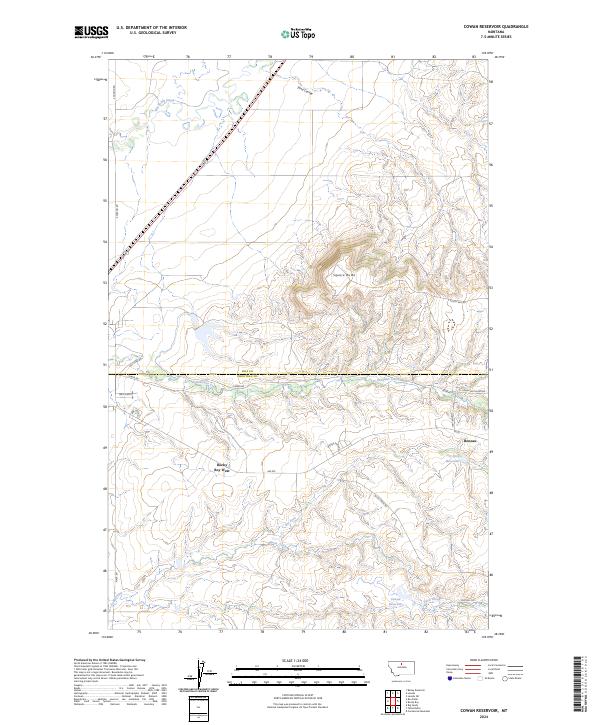
2024 Map of Cowan Reservoir
USGS Topo · Published 2024About this map
Square Butte rises prominently above the surrounding plains of north-central Montana, serving as a landmark in the transition between the agricultural reaches of the Hill and Chouteau county line. This 2024 survey captures the rural landscape as it appears today, defined by the seasonal flow of Boxelder Creek and the southern extent of the Rocky Boy's Reservation. The small community at Rocky Boy West and the settlement of Boneau anchor the local geography, connected by a network of rural routes such as Rte 6 and Boneau Rd.
Find a feature on this map
27 named features on this map. Tap any name to fly to it.
Don’t see what you’re looking for? This feature index may not catch every label — zoom into the map to look around manually.
Map Details
Editions of this 2024 Cowan Reservoir Map
This is the sole edition of this map. No revisions or reprints were ever made.
Other maps of this area

1904 · Boxelder
USGS Topo · 1:62,500

1906 · Boxelder
USGS Topo · 1:62,500

1919 · Big Sandy
USGS Topo · 1:125,000

1953 · Havre
USGS Topo · 1:250,000

1954 · Shelby
USGS Topo · 1:250,000

1957 · Havre
USGS Topo · 1:250,000

1958 · Shelby
USGS Topo · 1:250,000

1958 · Havre
USGS Topo · 1:250,000

1959 · Laredo
USGS Topo · 1:62,500

1959 · Centennial Mountain
USGS Topo · 1:62,500