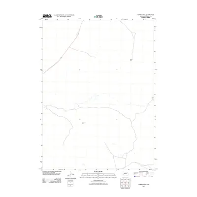
2011 Map of Cowboy Hill
USGS Topo · Published 2011About this map
Cowboy Hill rises as the central topographic landmark in this section of the Nebraska Panhandle within Morrill County. The landscape is defined by the practical infrastructure of the cattle ranching industry, featuring established stations such as Shanklin Ranch and Boyer Ranch. These named sites indicate long-standing family operations that have shaped the rural character of the region. Transportation is sparse, relying on local routes like N Co Rd to connect the high plains terrain. This 2011 survey by the U.S. Geological Survey provides a modern record of land use and property divisions in a sparsely populated ranching corridor.
Find a feature on this map
4 named features on this map. Tap any name to fly to it.
Don’t see what you’re looking for? This feature index may not catch every label — zoom into the map to look around manually.
Map Details
Editions of this 2011 Cowboy Hill Map
This is the sole edition of this map. No revisions or reprints were ever made.
Other maps of this area

1896 · Browns Creek
USGS Topo · 1:125,000

1898 · Camp Clarke
USGS Topo · 1:125,000

1899 · Browns Creek
USGS Topo · 1:125,000

1947 · Alliance
USGS Topo · 1:24,000

1947 · Bronco Lake
USGS Topo · 1:24,000

1948 · Hemingford 4 SE
USGS Topo · 1:24,000

1948 · Alliance
USGS Topo · 1:24,000

1949 · Lynn
USGS Topo · 1:62,500
1949 · Bronco Lake
USGS Topo · 1:24,000

1954 · Scottsbluff
USGS Topo · 1:250,000