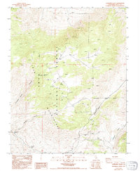
1987 Map of Cowhorn Valley
USGS Topo · Published 1994About this map
Inyo Mountains high-desert peaks dominate this 1980s landscape, where mining interests and steep terrain defined the local activity. The presence of the Riche Mine and Overholtz Mine, alongside numerous unnamed Prospects, indicates a history of mineral exploration throughout the central and southern reaches of the quadrangle. These operations are connected by a web of 4WD tracks that navigate the complex topography, providing the primary means of access through this part of the Inyo National Forest.
Find a feature on this map
15 named features on this map. Tap any name to fly to it.
Don’t see what you’re looking for? This feature index may not catch every label — zoom into the map to look around manually.
Map Details
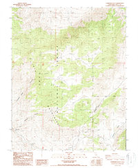
Editions of this 1987 Cowhorn Valley Map
2 editions found
Other maps of this area

1908 · Lida
USGS Topo · 1:250,000

1913 · Bishop
USGS Topo · 1:125,000

1913 · Lida
USGS Topo · 1:250,000

1947 · Mariposa
USGS Topo · 1:250,000

1948 · Mariposa
USGS Topo · 1:250,000

1951 · Blanco Mountain
USGS Topo · 1:62,500

1951 · Waucoba Mtn.
USGS Topo · 1:62,500

1954 · Goldfield
USGS Topo · 1:250,000

1955 · Goldfield
USGS Topo · 1:250,000

1957 · Mariposa
USGS Topo · 1:250,000