
1929 Map of Coxsackie
USGS Topo · Published 1942About this map
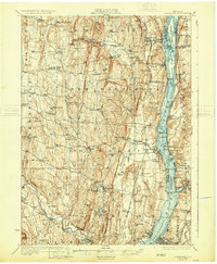
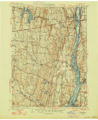
Hudson River life and the expanding water infrastructure of Albany County define this landscape surveyed in the mid-1920s. The newly constructed Alcove Reservoir and the Ravena Reservoir stand out as major topographic changes, reflecting the era's engineering efforts to secure regional water supplies. Along the river, the map documents a transition in transportation and industry, featuring the West Shore and New York Central railroads as they navigate the shoreline through settlements like New Baltimore Sta and Coxsackie. The river itself is a complex network of channels and landmarks, including Houghtaling Island and Schodack Island. Inland, the rural character is preserved through numerous numbered school districts, such as School No 7 and Butler Sch, alongside prominent natural features like Indian Ridge and Flint Mine Hill.
Find a feature on this map
121 named features on this map. Tap any name to fly to it.
Don’t see what you’re looking for? This feature index may not catch every label — zoom into the map to look around manually.
Map Details
Editions of this 1929 Coxsackie Map
4 editions found

Other maps of this area

1892 · Kaaterskill
USGS Topo · 1:62,500

1893 · Kaaterskill
USGS Topo · 1:62,500

1893 · Troy
USGS Topo · 1:62,500

1893 · Coxsackie
USGS Topo · 1:62,500

1893 · Durham
USGS Topo · 1:62,500

1893 · Albany
USGS Topo · 1:62,500

1894 · Coxsackie
USGS Topo · 1:62,500

1894 · Kaaterskill
USGS Topo · 1:62,500

1894 · Durham
USGS Topo · 1:62,500

1895 · Troy
USGS Topo · 1:62,500