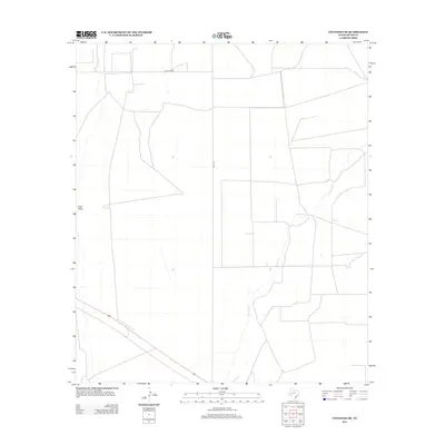
2012 Map of Coyanosa SE
USGS Topo · Published 2012About this map
Courtney Cr meanders across this West Texas landscape, providing a rare watercourse in an area defined by its arid drainage patterns. This portion of Pecos County, documented in 2012, reveals a sparsely settled region where the primary infrastructure consists of long-distance transport routes and ranch roads. The intersection of FM 1776 and Mcintyre Rd anchors the northern grid, while the western edge is marked by the broad depression of Cato Draw. The map illustrates the geometric precision of Texas land surveying, with property lines and tracks forming a stark contrast against the natural seasonal washes that define the local topography.
Find a feature on this map
4 named features on this map. Tap any name to fly to it.
Don’t see what you’re looking for? This feature index may not catch every label — zoom into the map to look around manually.
Map Details
Editions of this 2012 Coyanosa SE Map
This is the sole edition of this map. No revisions or reprints were ever made.
Other maps of this area

1921 · Fort Stockton
USGS Topo · 1:62,500

1923 · Fort Stockton
USGS Topo · 1:62,500

1928 · Comanche Spring
USGS Topo · 1:125,000

1929 · Hovey
USGS Topo · 1:125,000

1931 · Barstow
USGS Topo · 1:125,000

1954 · Pecos
USGS Topo · 1:250,000

1954 · Fort Stockton
USGS Topo · 1:250,000

1957 · Pecos
USGS Topo · 1:250,000

1958 · Fort Stockton
USGS Topo · 1:250,000

1970 · Fort Stockton West
USGS Topo · 1:24,000