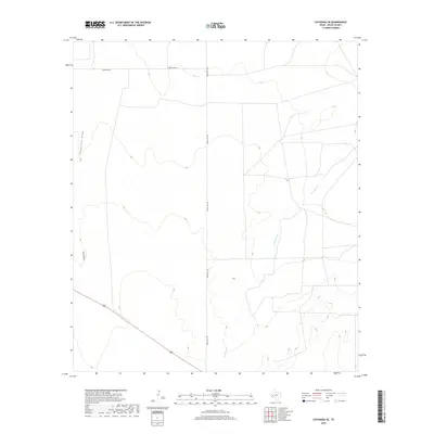
2019 Map of Coyanosa SE
USGS Topo · Published 2019About this map
Courtney Cr meanders through the arid landscape of Pecos County, defining the drainage patterns in this corner of West Texas. The terrain is primarily characterized by dry washes and seasonal watercourses such as Coyanosa Draw and Cato Draw, which serve as critical landmarks in an otherwise sparse environment. Human presence is marked by a grid of transit corridors, most notably Ranch Rd 1776 and Mcintyre Rd, reflecting the region's reliance on road networks to connect remote ranchlands. Along the southern edge, the inclusion of Route 285 provides a primary artery for movement through the district. This topographical study captures a specific moment in the land's management, where the intersection of natural draws and established roadways illustrates the logistical challenges of the Trans-Pecos region.
Find a feature on this map
6 named features on this map. Tap any name to fly to it.
Don’t see what you’re looking for? This feature index may not catch every label — zoom into the map to look around manually.
Map Details
Editions of this 2019 Coyanosa SE Map
This is the sole edition of this map. No revisions or reprints were ever made.
Other maps of this area

1921 · Fort Stockton
USGS Topo · 1:62,500

1923 · Fort Stockton
USGS Topo · 1:62,500

1928 · Comanche Spring
USGS Topo · 1:125,000

1929 · Hovey
USGS Topo · 1:125,000

1931 · Barstow
USGS Topo · 1:125,000

1954 · Pecos
USGS Topo · 1:250,000

1954 · Fort Stockton
USGS Topo · 1:250,000

1957 · Pecos
USGS Topo · 1:250,000

1958 · Fort Stockton
USGS Topo · 1:250,000

1970 · Fort Stockton West
USGS Topo · 1:24,000